
Disclosure: This page may contain affiliate links. If you book or buy through our links, we may earn a small commission at no extra cost to you. See our Privacy Policy for details.
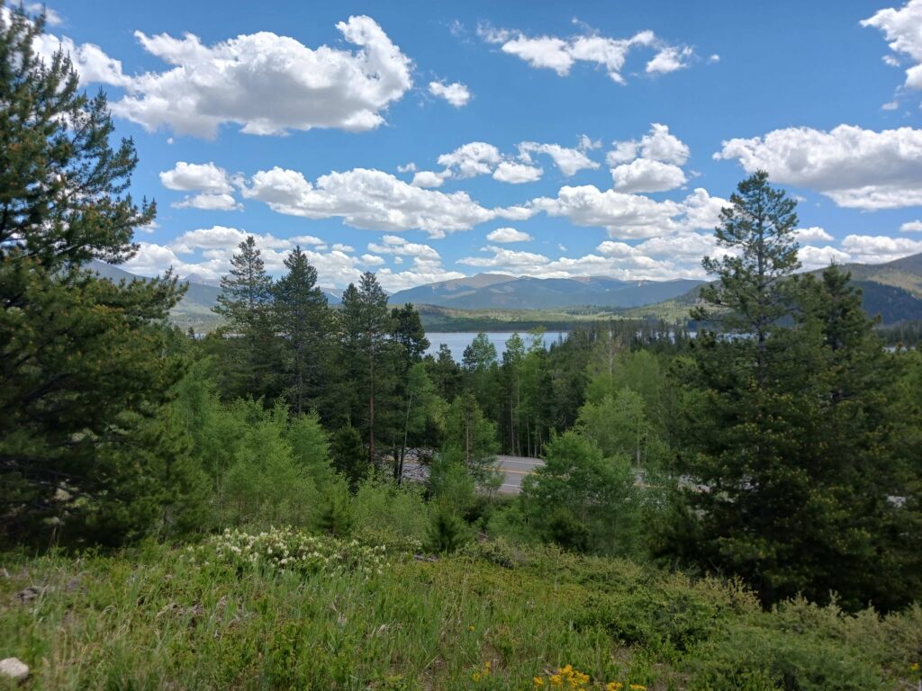
Breckenridge sits at 9,600 feet with the Tenmile Range on one side and the Continental Divide on the other, which means serious hiking starts almost as soon as you leave Main Street. Whatever you’re after — a flat half-mile stroll to a giant wooden troll, a moderate climb to an alpine lake, or a full 14er — there’s a trailhead within a short drive of town. Here’s how the best hikes in Breckenridge break down by difficulty.
Easy & Family-Friendly Hikes Near Breckenridge
Sawmill Creek Trail to the Fairy Forest
A 1.3-mile loop that follows Sawmill Creek up to Sawmill Reservoir through dense forest, with minimal elevation gain. The trailhead is walkable or bikeable right from downtown, starting near Four O’Clock and Kings Crown Roads beneath the Snowflake lift — no parking lot, so plan to walk, bike, or take the free Breckenridge Free Ride bus. Push a little past the reservoir and you’ll find the Fairy Forest, a whimsical collection of tiny fairy houses built up over the years by locals and visitors. Genuinely one of the best easy hikes for families in town.
Sapphire Point Overlook
Currently closed: Swan Mountain Road is closed for construction through mid-August 2026 — check current status before planning a trip here this summer.
When open, this is a nearly flat 0.6-mile loop (just 42 feet of elevation gain) on Swan Mountain Road between Breckenridge and Keystone, with some of the best views in Summit County: Lake Dillon, the Tenmile Range, and standout fall color. About a 15-minute drive from town. Dog-friendly and stroller-manageable when accessible.
Sallie Barber Mine Trail
A shorter, mellow option that winds past mining ruins with solid mountain views. Good for families, non-hikers, or anyone who wants a taste of the mining history without covering serious elevation.
The Breckenridge Troll (Trollstigen Trail)
Less than a mile round trip and about 15 minutes of walking to reach Isak Heartstone, a 15-foot wooden troll sculpture built from recycled scrap wood by Danish artist Thomas Dambo. The trailhead is at Illinois Creek Trailhead, a 5-minute drive (or 15-minute walk) from downtown, next to the Stephen C. West Ice Arena. As of 2024 the trail was upgraded to an accessible surface — firm, compacted, max 3% grade. One of the most-searched hikes in Breckenridge and a near-guaranteed hit with kids. Full guide: The Breckenridge Troll Hike Guide.
Blue River Recpath
Not a wilderness trail, but worth knowing: a 7.3-mile paved path connecting Breckenridge to Frisco along the Blue River, with Tenmile Range views the whole way. Walk as little or as much as you want — it’s flat, stroller- and bike-friendly, and a good option on a day when legs (or weather) rule out anything steeper.
Moderate Hikes Near Breckenridge
[IMAGE: Alpine lake or forested trail, e.g. Mohawk Lakes basin. Alt text: “Mohawk Lakes trail, Breckenridge, Colorado.” Caption format: Photo: [Photographer Name] / Wikimedia Commons / CC BY 2.0]
Burro Trail
A 6-mile out-and-back through dense forest with occasional viewpoints, gaining about 915 feet — moderate, not technical. Trailheads at the base of Peak 9 near Beaver Run Resort or at the Spruce Creek Trailhead, so it’s easy to combine with other hikes in the area. Dogs welcome on leash. Best June through September.
Spruce Creek Trail to Mohawk Lakes
One of the best hikes in the area and consistently underrated. The trail climbs through dense spruce forest before opening into a high alpine basin with a series of lakes and a dramatic waterfall at the upper end. About 8 miles round trip with 1,700 feet of gain. Far less crowded than anything accessed directly from the resort.
Monte Cristo Gulch (Blue Lakes)
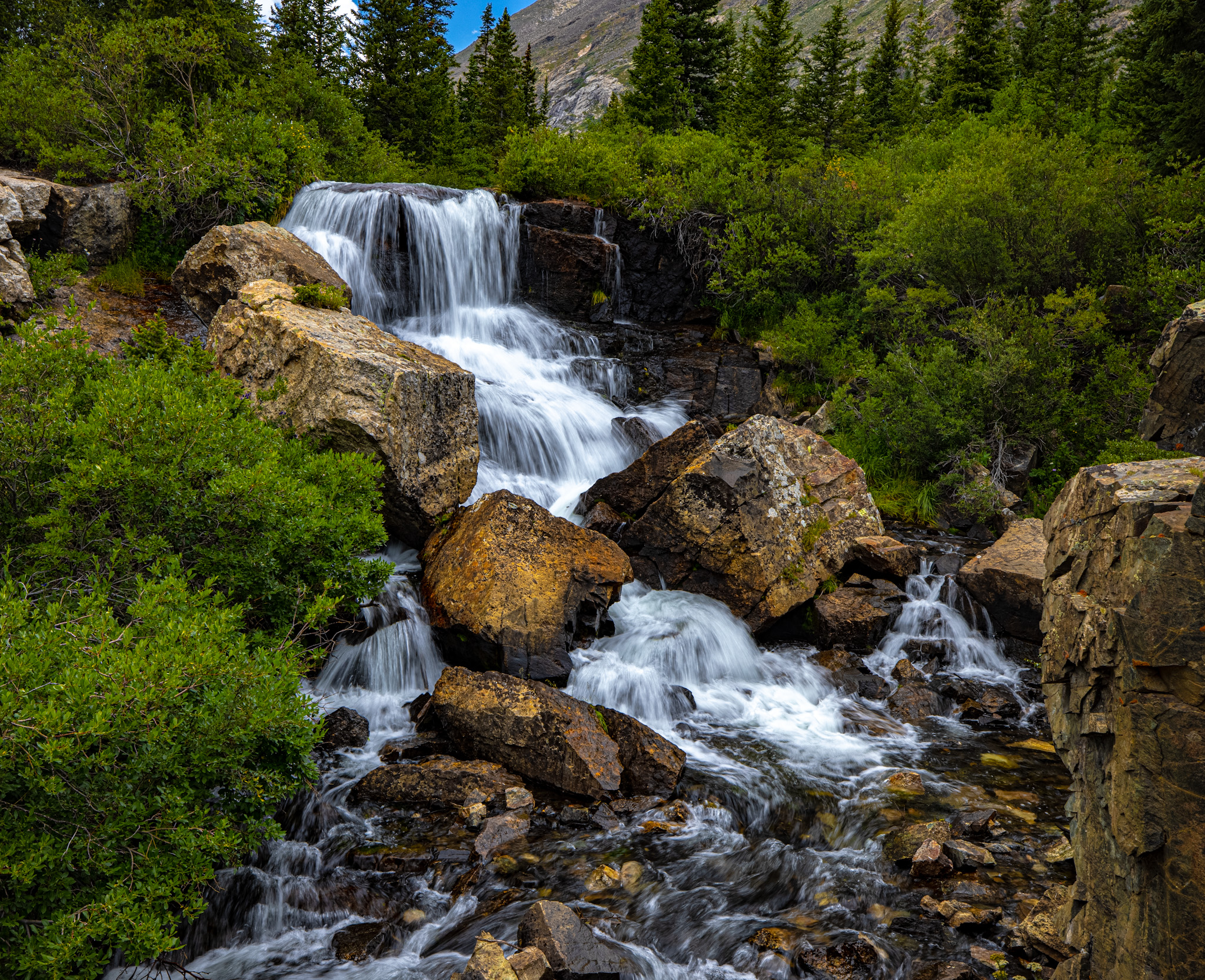
Photo: 420 Photography / Wikimedia Commons / CC0
A moderate trail starting at the dam between the upper and lower Blue Lakes, about 8 miles south of Breckenridge on Highway 9 and 2.2 miles up Blue Lakes Road. Distance runs 2.8–4.4 miles round trip depending on how far you push into the gulch, with roughly 850 feet of elevation gain. The trail skirts the upper lake before climbing into an old mining area scattered with ruins, with a waterfall cutting through the gulch along the way. Quieter than Spruce Creek or Quandary, with a strong payoff for the mileage.
McCullough Gulch Trail
A moderate-to-strenuous 6.4-mile round trip (roughly 1,600 feet of gain) to a waterfall and a string of alpine lakes below Quandary Peak. Rockier and steeper than the mileage suggests — some hikers rate it tougher than its length implies. Best June through September. Parking at the trailhead has required a reservation or shuttle during peak summer weekends in recent years — confirm current requirements before you go.
Strenuous Hikes & 14ers Near Breckenridge
Quandary Peak
At 14,265 feet, Quandary is consistently ranked among Colorado’s most accessible 14ers. The standard East Ridge Route is 6.75 miles round trip with roughly 3,350 feet of elevation gain — strenuous but non-technical, with a well-marked trail the whole way. Mid-July through September is the safe window. Start before 7am; afternoon lightning on an exposed ridgeline is not a situation you want to be in. Like McCullough Gulch, trailhead parking has required reservations during peak season — check before you drive up.
Guided Hikes & Tours
Prefer to hike with a guide? Browse guided hiking and adventure tours in Breckenridge below.
Where to Stay After Your HikeMost of these trailheads are a short drive from town. See our full Where to Stay in Breckenridge breakdown for ski-in/ski-out, downtown, and budget options in Frisco and Silverthorne.